My Blue Dot Lifeline in the Cairngorms
My Blue Dot Lifeline in the Cairngorms
Rain lashed against my face like icy needles as I stumbled through the Scottish moorland, my supposedly waterproof jacket now just a cold second skin. Three hours earlier, this hike through Cairngorms National Park was pure magic - heather-covered slopes meeting moody skies. But Scotland's weather does what it wants, and suddenly I was enveloped in a whiteout so thick I couldn't see my own boots. My phone had zero bars since leaving the trailhead, and panic started clawing at my throat when I realized I'd wandered off-path. That's when I remembered the app I'd skeptically downloaded weeks ago: Mapitare Terrain & Sea Map.
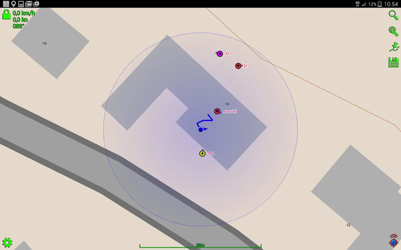
Fumbling with frozen fingers, I launched the application and watched in disbelief as a blue dot blinked into existence against a detailed topographic map. The relief was physical - warmth spreading through my chest as if I'd swallowed sunshine. Every contour line became sacred scripture; those squiggly brown elevation markers told me more about the land than my eyes could through the fog. I traced a ridge with my fingertip, feeling the digital landscape rise beneath my touch as the app rendered elevation data into tangible understanding. The offline DEM files stored locally on my device transformed abstract geography into survival intelligence, showing me exactly where cliff edges dropped away invisibly just meters from my position.
What stunned me wasn't just the map - it was how Mapitare Terrain & Sea Map understood wilderness logic. The app automatically highlighted bothies (mountain shelters) within possible reach, calculating my soggy trudge-speed against remaining daylight. When I selected one, it didn't just draw a line - it analyzed slope angles and vegetation density to suggest the least dangerous approach. I discovered later this came from its multi-layer raster analysis, crunching elevation, hydrology, and land cover data locally without needing servers. For three terrifying hours, that glowing screen was my only reality, the blue dot my holy grail.
But damn, did it punish my phone. The constant GPS polling and map rendering turned my battery into a countdown timer. Watching percentage points vanish faster than my visibility sparked genuine rage - I needed navigation, not a digital hourglass reminding me of my mortality. And why did the compass calibration require such absurd arm-waving? Standing soaked in gale-force winds, performing smartphone tai chi felt like cosmic mockery.
The moment I saw that stone bothy materialize through the mist exactly where Mapitare promised, I nearly kissed my muddy screen. Inside, dripping onto ancient flagstones, I realized this wasn't just navigation. That app had become my external cortex, compensating for human fragility with cold, beautiful mathematics. It didn't care about my panic - just relentlessly processed vectors and coordinates while I fell apart. There's terrifying power in handing your survival to algorithms, but when the alternative is freezing on a mountainside, you learn to worship the machine.
Would I trust Mapitare Terrain & Sea Map again? Absolutely - but with two power banks and renewed hatred for its battery appetite. Some relationships are complicated.
Keywords:Mapitare Terrain & Sea Map,news,wilderness navigation,offline mapping,Cairngorms survival


