Raindrops and Relief: How an App Saved My Soaked Camping Dream
Raindrops and Relief: How an App Saved My Soaked Camping Dream
Cold Pacific Northwest rain needled through my jacket as I stared at the "CLOSED INDEFINITELY" sign dangling from the campground gate. My fingers had gone numb hours ago during the brutal coastal hike, and now this - my reserved spot vanished like driftwood in high tide. Eight hours of driving, soaked gear in the back, and darkness swallowing the Olympic Peninsula. That familiar panic bubbled up: sleeping in my dented Subaru again, knees jammed against the steering wheel, listening to racoons pillage my food bin.
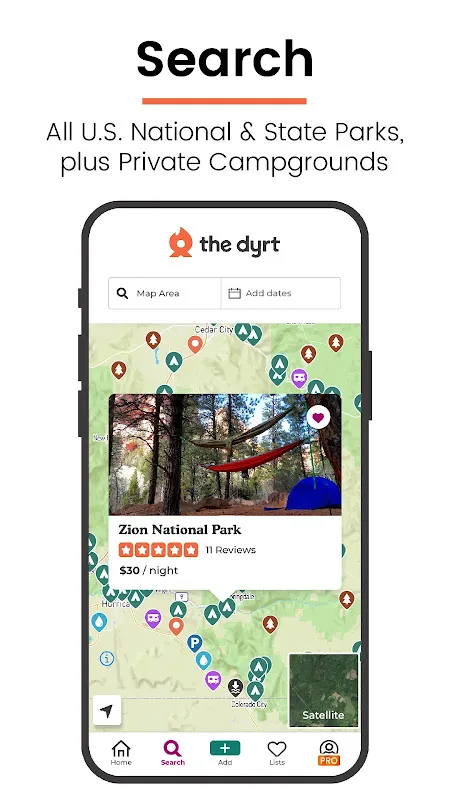
Then it hit me - that throwaway comment from Beth at the trailhead coffee shack last month. "When the parks screw ya," she'd said while steaming milk, "there's this digital ranger in your pocket." I fumbled with waterlogged fingers, almost dropping my phone in a mud puddle while downloading The Dyrt. Service flickered like a dying candle at the remote ranger station. One bar. Loading... loading... those real-time crowd-sourced maps bleeding onto my screen like a lighthouse beam.
What unfolded felt like wilderness wizardry. Not just pins on a map, but layers - BLM land boundaries overlaying satellite imagery like translucent parchment. Filter options materialized: "Free," "Dispersed Camping," "Accepting Vehicles Now." My shivering thumb hovered over a cluster of unmarked icons up a logging road. Recent reviews sealed it: "Small clearing by creek - arrived 9pm Thursday, no one here" with timestamped photos showing ferns glistening after rain. Exactly like now.
Navigating the tooth-rattling gravel road in darkness, I understood the app's brutal genius. Those user-uploaded coordinates weren't approximations - they accounted for the washed-out section where my headlights caught the deep ruts. Someone had precisely marked the turnoff with a digital waypoint where the actual wooden post lay rotted on the ground. Without those millimeter-accurate pins dropped by previous adventurers, I'd have plunged into blackness.
The miracle meadow appeared exactly as described. Not some corporate-manicured RV paradise, but a moss-carpeted nook beside chattering water. As I wrestled my tent poles in the downpour, the app's offline functionality became my co-pilot. No signal? No problem. Cached layers showed topography lines confirming drainage away from my site - no midnight flash-flood surprises. When thunder cracked overhead, I tapped the weather layer revealing the storm cell's exact path narrowing to a thin band. Twenty more minutes of rain, then clearing. Precision transformed dread into anticipation.
Dawn broke crystalline through red cedars. Steam rose from my camp stove as I scrolled through trip reports. Not just star ratings, but visceral accounts: "Bear activity near berry patch" with exact grid coordinates updated three days prior. This wasn't an app - it was a living atlas written by thousands of muddy boots. The dispersed campsite filter had saved me $38 and gifted solitude no booked campground could offer. In that misty morning, I finally grasped the radical democratization of wilderness access happening right in our pockets.
Keywords:The Dyrt,news,dispersed camping,offline maps,public lands


