Altimeter GPS Saved My Hike
Altimeter GPS Saved My Hike
I remember the exact moment my heart started pounding against my ribs like a frantic drumbeat. It was deep in the Sierra Nevada, miles from any trailhead, and the sky had turned a menacing shade of gray without warning. I’d been trekking for hours, my boots crunching on loose scree, when a thick fog rolled in, swallowing the path ahead until I could barely see my own feet. As an experienced hiker, I’d always relied on my instincts and a trusty map, but that day, instinct wasn’t enough. My fingers fumbled for my phone, cold and trembling, as I opened Altimeter GPS—a tool I’d downloaded on a whim weeks earlier, never imagining it would become my lifeline.
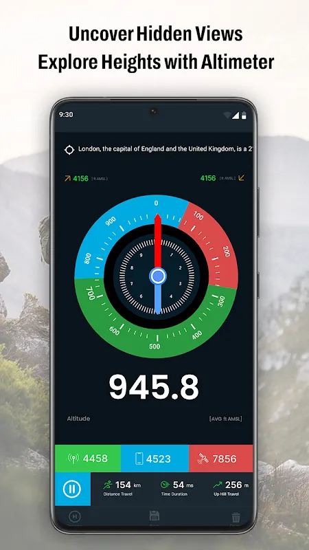
The app loaded instantly, its interface clean and uncluttered, which was a relief amidst the chaos. Unlike other navigation apps I’d tried, which bombarded me with ads or complicated menus, this one felt intuitive. It displayed my current elevation: 11,200 feet. I knew I was somewhere near a ridge, but the fog had erased all landmarks, leaving me disoriented and breathing too fast. The numbers on the screen weren’t just data; they were a anchor in the swirling white nothingness. I could feel the chill seeping through my layers, and my mind raced with what-ifs. What if I veered off course? What if altitude sickness crept in? But Altimeter GPS didn’t just spit out numbers—it painted a picture of the terrain based on real-time barometric pressure readings, something I’d read about in outdoor forums. Barometric altimeters are more accurate than GPS-based ones because they measure air pressure changes, which can detect subtle elevation shifts even when satellite signals weaken. In that moment, as I watched the elevation tick up slowly, I realized I was still ascending when I should have been descending toward camp. Without this tool, I might have wasted precious energy climbing higher into danger.
The Turning Point
As I adjusted my route, following the app’s guidance to descend gradually, the fog began to lift slightly, revealing jagged peaks that looked both beautiful and terrifying. My legs ached, and every step felt like dragging weights through molasses. I’d been critical of tech in the wilderness before—too often, apps drain battery life or fail in remote areas—but Altimeter GPS surprised me. Its battery usage was minimal, thanks to efficient coding that prioritized essential functions over flashy graphics. I’d charged my phone to 80% that morning, and hours later, it was still above 60%, whereas my old hiking app would have killed it by noon. Yet, it wasn’t perfect. At one point, the elevation reading flickered, dropping suddenly by 50 feet before correcting itself. I later learned that rapid weather changes can affect barometric sensors, causing temporary inaccuracies. In that split second, panic flared—was I falling into a crevasse?—but the app recalibrated quickly, and I pushed on, muttering curses under my breath. Emotions swung from gratitude to frustration, but that’s the reality of relying on technology outdoors; it’s a partner, not a savior.
Descending further, I used the app’s history feature to track my path, which helped me avoid a steep drop-off that wasn’t on my paper map. The ability to log elevation gains and losses over time gave me insights into my pace and energy expenditure, something I’d never considered before. It felt like having a digital sherpa by my side, whispering warnings and encouragements. When I finally stumbled upon a familiar cairn—a stack of rocks marking the trail—relief washed over me so intensely that I nearly collapsed. The sun broke through the clouds, casting golden light on the valley below, and I sat there for a moment, breathing deeply, with Altimeter GPS still open on my screen. It had transformed from a mere utility into a companion that understood the nuances of high-altitude travel. The tech behind it, blending GPS with barometric data, ensured that even when satellites were spotty, the elevation readings remained reliable, a detail that outdoor enthusiasts often overlook but shouldn’t.
Back at camp that evening, as I warmed my hands over a small stove, I reflected on the day. Altimeter GPS hadn’t just saved me from getting lost; it had deepened my connection to the mountains by making the invisible—changes in elevation—visible and actionable. I’d started the hike skeptical, but now I was a convert, though not without reservations. The app’s interface, while simple, could benefit from more customizable alerts for altitude thresholds, which would help prevent surprises. And while its accuracy was generally stellar, I wish it had a built-in tutorial for new users to explain how barometric calibration works, because not everyone knows to adjust for weather patterns. Despite these quirks, the emotional rollercoaster of fear, doubt, and eventual triumph made me appreciate this digital tool in a way no bland review ever could. It’s not about the specs; it’s about those moments when technology meets raw human experience, and for me, Altimeter GPS nailed it.
Keywords:Altimeter GPS,news,hiking adventure,outdoor navigation,altitude tracking


