Dust Storm Savior: Sygic's Grip
Dust Storm Savior: Sygic's Grip
Red dirt ghosts danced across my windshield, swallowing the Outback whole. One moment, the Stuart Highway stretched into infinity; the next, a rust-colored tsunami erased the world. My knuckles bleached white on the steering wheel as zero visibility clamped down. "Recalculating," chirped a calm female voice from my phone mount – my only tether to reality. Outside, 70km/h winds howled like freight trains, sand scraping paint off the 4WD. Inside, that glowing blue line on the dashboard display sliced through the chaos, unwavering. Three hours earlier, I'd scoffed at downloading Sygic's entire Australian vector maps – 1.2GB of data feeling excessive in the age of streaming. Now, as my cellular signal flatlined, those offline charts became my lifeline, vector tiles rendering twists and creek crossings my eyes couldn't penetrate. Every 200 meters, the voice announced elevation drops like a somber oracle: "Steep descent ahead." I didn't just hear it; I felt it in my gut as the Land Cruiser lurched downward, tires skidding on grit. Absolute, bowel-clenching terror met by eerie digital calm – a dissonance that saved my sanity.
When Digital Skepticism Meets Red Earth Reality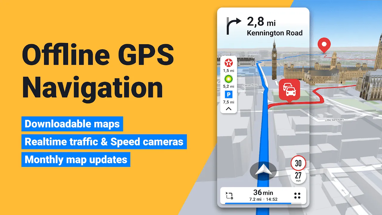
Months before the storm, I'd nearly stranded myself near Coober Pedy relying on a "free" online nav app. Its pixelated map dissolved when Telstra towers vanished, leaving me circling opal mines for 90 minutes, sweat pooling where the seatbelt met my neck. That night in a pub, a grizzled trucker slid his phone across the sticky bar: "See this purple route? That's a flooded track last week. This thing learns." He meant crowd-sourced hazard updates, Sygic's secret sauce where drivers tag roadkill, potholes, or washed-out bridges. Still doubtful, I downloaded it purely for the 7-day trial. The setup felt archaic – manually selecting states to download, watching progress bars crawl. But driving toward Uluru at dawn weeks later, it whispered "kangaroo crossing" seconds before emus exploded from scrubland. I slammed brakes, heart jackhammering as feathers brushed the bumper. The app hadn't just mapped roads; it anticipated life.
Yet perfection? Hardly. Two days into the Outback trek, Sygic's "shortcut" through a cattle station became a nightmare. That soothing voice cheerfully guided me into a dry riverbed choked with spinifex. "In 300 meters, turn left," it insisted, while my wheels churned uselessly in sand. No amount of zooming showed terrain details – a brutal reminder that offline doesn't mean omniscient. I spent sunset digging out the tires, blistering heat radiating from rocks as I cursed the algorithm's blindness to topography. That rage crystallized something vital: tech isn't infallible, but its failures teach sharper lessons than its triumphs. Still, when the dust storm hit, I trusted that blue line more than my own eyes. Why? Because during that stranded hour, I'd discovered the speed-camera alerts worked without signal – satellites whispering "slow down" near invisible patrols – proving some systems thrive in isolation.
The Anatomy of Blind FaithInside the storm's brownout, Sygic's HUD mode projected directions onto the windshield – turning my entire field of view into a navigational canvas. Ghost arrows floated over swirling dirt, a surreal augmented reality guiding turns I couldn't see. This wasn't magic; it was gyroscopes and accelerometers calculating orientation 100 times per second, syncing with GPS coordinates. Yet when hail suddenly pounded the roof like machine-gun fire, the app froze. Panic surged – until I remembered the offline reboot trick: force-quit, relaunch, and within 18 seconds (I counted), it resurrected our route. That vulnerability – needing manual resuscitation – infuriated me even as relief flooded in. Later, analyzing the journey, I realized the app's genius lay in its limitations. By not attempting live traffic or fancy 3D buildings offline, it conserved processing power for pure survival navigation. Every alert was distilled to binary urgency: "sharp curve" or "keep straight." No frills, just function. That restraint felt like engineering poetry when civilization finally emerged – a roadhouse glowing through thinning dust. The voice didn't cheer; it simply stated, "You have reached your destination." I sat shaking in the parking lot, listening to gravel ping against hot metal, understanding that true reliability whispers; it never shouts.
Keywords:Sygic GPS Navigation,news,Australian Outback survival,offline vector maps,dust storm navigation


