Fogbound in the Dolomites
Fogbound in the Dolomites
That Tuesday started with crystalline promise. Dawn sliced through my tent's fabric as I zipped open the flap to see Tre Cime di Lavaredo's silhouette against a peach-colored sky. My breath hung in the air like frozen lace - minus eight Celsius according to my watch, perfect for the winter traverse I'd dreamt of for months. I'd studied the route obsessively: paper maps spread across my kitchen floor for weeks, yellow highlighter tracing the path from Rifugio Auronzo to Cadini di Misurina. Yet nothing prepared me for how the mountains rewrite reality when clouds descend like theater curtains.
By noon, the world dissolved. One moment I was picking through limestone scree with crampons biting ice; the next, swirling fog erased trail markers, horizon, even my own boots. Panic arrived as a physical presence - cold sweat beneath three layers of merino wool, heartbeat thrashing against my ribs like a trapped bird. When my gloved hand fumbled the laminated map from my backpack, wind snatched it into the void. Absolute whiteout. Every survival course warning echoed in my skull: Disorientation kills faster than cold. That's when my trembling fingers remembered the phone buried in my chest pocket.
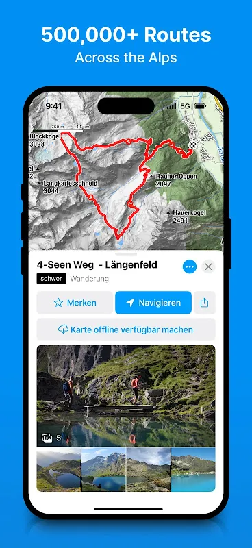
What happened next felt like technological sorcery. Ice crystals blurred the screen as bergfex launched, its interface materializing like a lifeline. Instantly, a pulsing blue dot anchored me in space - dual-frequency GPS cutting through atmospheric interference that'd baffle consumer devices. The app didn't just show trails; it painted elevation gradients in vivid ochre and burnt sienna, revealing a hidden couloir just 20 meters left where I'd sworn solid ground existed. When I tapped "emergency routing," it didn't default to shortest path but calculated safest descent based on real-time incline analysis and rockfall hazard zones. Watching that crimson path snake across the display, I nearly wept.
Navigating by smartphone felt blasphemous initially. I'm the purist who mocks summit selfies, whose compass has crossed six continents. But bergfex reshaped my wilderness relationship. Its offline topo maps - vector-based for featherweight storage - now live permanently on my device, consuming less space than a playlist. I've grown addicted to the slope angle shading feature; those subtle purple gradients warned me off a deceptive snowfield last month that later avalanched. The app's brutal honesty about my pace forces humility too - watching estimated summit times balloon as altitude throttled my lungs was more effective than any fitness tracker shaming.
Criticism? Oh, it exists. The battery vampire aspect terrifies - that Dolomites rescue drained my power bank to 4%, forcing me to ration screen wakes like water in a desert. And I curse when cached maps occasionally glitch near treeline, leaving me staring at blank tiles where cliffs should be. But these feel like quarrels with a savior. Nowadays, I prep routes using bergfex's 3D flythroughs, examining ridge lines from angles impossible on paper. It even corrected my dangerous habit of underestimating descent times - its algorithm accounts for fatigue-influenced speed decay that paper charts ignore.
Last week, guiding novices through Pyrenean switchbacks, I watched them panic when mist swallowed the path. Calmly, I showed them the glowing screen: "See this blue dot? That's us. This red line? Home." Their relieved sighs carried the same reverence I felt months ago. Mountains haven't changed - they remain beautifully treacherous. But with this digital sherpa in my pocket, I venture deeper, safer, hungrier. Sometimes progress tastes like cold wind and a glowing screen.
Keywords:bergfex,news,offline topo maps,alpine safety,GPS navigation


