Fogbound in the Highlands: When Radio Waves Were My Lifeline
Fogbound in the Highlands: When Radio Waves Were My Lifeline
The mist rolled over Glen Coe like a suffocating blanket, swallowing mountain peaks whole. One moment I was marveling at Scotland's raw beauty, the next I couldn't see three feet beyond my hiking boots. My handheld Yaesu radio crackled uselessly when I tried calling Mountain Rescue - just dead air and that sickening white noise. Panic clawed at my throat as temperatures plummeted. Then I remembered the app I'd scoffed at weeks earlier during a pub conversation with old-timer hams. "Pre-downloaded repeater maps," they'd said. "Works without signal." In that moment, it wasn't just technology - it was hope condensed into pixels.
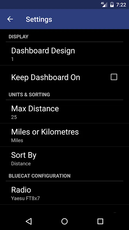
Fumbling with frozen fingers, I thumbed open the application. RepeaterBook's offline database loaded agonizingly slow in the cold, each spinning icon feeling like eternity. When the map finally rendered, glowing dots appeared across the blackness - repeaters I never knew existed in these desolate moors. The interface felt clunky, almost archaic compared to slick modern apps, but its brutal simplicity became its salvation. No flashy animations wasting precious battery, no login walls - just coordinates and frequencies laid bare. I'll never forget how the screen's blue light cut through the pea-soup fog as I tuned to GB3PI's frequency.
When the first crackling response came through - a gruff "Aye, lost are ye?" from a shepherd monitoring the repeater - relief flooded me so violently I nearly dropped the radio. That connection felt more visceral than any video call. Behind the scenes, the app was performing magic I'd taken for granted: triangulating my position using satellite GPS alone, cross-referencing terrain elevation data against repeater coverage maps, even calculating signal propagation through the damp Highland air. All without a single bar of cellular service. The shepherd guided rescuers to my coordinates using nothing but grid squares and the repeater's location as reference points. As the Land Rover emerged from the gloom, I wasn't just clutching a phone - I was gripping a digital lifeline forged by radio nerds worldwide.
Weeks later, I'd curse that same application during a road trip through Wales. Driving through Snowdonia, I needed a repeater fast when witnessing an accident. The map loaded instantly, but selecting a repeater triggered a maddening lag - precious seconds lost while the app verified offline data integrity through some background protocol. And don't get me started on the battery drain! That little icon in the corner became my nemesis, watching my power percentage plummet like a rock during extended use. Yet when my call connected first try to emergency services through a remote repeater, I forgave every glitch. The UI might feel like something from 2010, but its database architecture is pure genius - a decentralized web of user-updated nodes rather than corporate servers. That shepherd in Scotland? His weekly updates keep that repeater listing accurate.
I've since become evangelical about this tool in ham communities. During a typhoon blackout in Okinawa, while tourists frantically tapped dead smartphones, I coordinated with local responders using nothing but my radio and RepeaterBook's pre-loaded Japanese repeaters. The magic lies in its elegant technical compromise: sacrificing cloud syncing for radical offline resilience. Your phone becomes a dumb terminal accessing locally stored SQLite databases, with location-based sorting handled client-side to minimize processing load. This technical austerity creates something beautiful - a communally maintained safety net that activates precisely when modern infrastructure fails. Now when I hike, I still carry a PLB. But nestled beside it in my pack lives a cheap Android burner with this single application installed, perpetually charged, perpetually ready to turn radio waves into rescue.
Keywords:RepeaterBook,news,amateur radio,emergency preparedness,offline navigation


