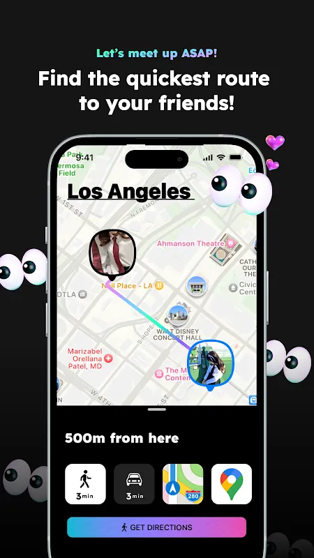
Following Digital Fireflies Through the Forest
Following Digital Fireflies Through the Forest
Rain lashed against my hood as I crouched behind a moss-covered boulder, fingers trembling on my phone screen. Somewhere in this labyrinth of Douglas firs and devil's club thickets, my hiking group had vanished like smoke. We'd separated briefly to photograph a waterfall – a decision that now felt catastrophically stupid as twilight bled into the wilderness. My compass app showed only spinning indecision, and panic tasted like copper pennies in my mouth. Then I remembered the peculiar little location app my tech-obsessed friend forced on us yesterday. With numb fingers, I stabbed at the neon owl icon – and gasped as the screen erupted into life.
Where traditional maps showed sterile topography, this wilderness bloomed with absurdity. Chris pulsed as a glowing raccoon scaling imaginary cliffs. Jen materialized as a disco-ball armadillo rolling steadily northwest. And Mark – dear reckless Mark – blinked as a pixelated Sasquatch doing the moonwalk near what should've been our rendezvous point. The sheer visual insanity sliced through my terror like sunlight through canopy gaps. What kind of mad genius built this? Later I'd learn the developers leveraged WebGL vector rendering to animate these avatars with minimal data usage – critical when you're clinging to one bar of signal in bear country. But in that soaked, shivering moment, I only knew those dancing sprites felt like rescue flares shot directly into my adrenal system.
When Cartography Drank Psychedelics
Navigating toward Mark's moonwalking Bigfoot felt like chasing digital fireflies. Each avatar moved with uncanny fluidity – Jen's armadillo actually tumbled downhill when her GPS elevation dropped – revealing the app's secret weapon: real-time inertial measurement unit (IMU) data fused with geolocation. Unlike static map pins, these creatures responded to terrain. Seeing Chris' raccoon avatar freeze mid-scramble when he paused to tie his boot? That tiny detail anchored me to human reality amidst the disorientation. Yet the whimsy nearly backfired when Mark's Sasquatch suddenly sprouted purple wings. "Battery saver mode," he'd sheepishly explained later, "makes icons stationary with silly animations." Terrifying when you're expecting directional cues, but I'll admit the winged cryptid hovering over our campsite coordinates made me snort-laugh through residual panic.
The reunion was less group hug, more tech postmortem. Chris arrived clutching his phone like a holy relic, gushing about path prediction algorithms while brushing mud off his raccoon-branded thermos. Jen demonstrated how her armadillo automatically curled into a ball when she wandered beyond group radius – a cheeky visual nudge exploiting our primate instinct for pattern recognition. We spent the evening dissecting the experience: how the avatars' movement smoothness revealed Kalman filtering at work, cleaning GPS noise into buttery trails. How the app sacrificed cartographic precision for emotional wayfinding. How seeing your friend as a disco mammal fundamentally alters your relationship with space.
Battery Blues and Backcountry Revelations
Of course, wilderness exposes every flaw. By dawn, three of our phones lay dead – casualties of the app's relentless location pinging. Modern GPS chips may sip power compared to their ancestors, but vector-rendered dancing raccoons are thirsty little beasts. The developer's "ultra-low-power mode" turned our avatars into flickering cave paintings, barely legible in sunlight. Worse, when we entered a narrow canyon, the app stubbornly refused to acknowledge physics. Jen's armadillo levitated across impassable ravines like some demented superhero, nearly sending us over a ledge chasing digital mirages. That moment birthed my love-hate relationship with the platform – marveling at its ingenuity while cursing its battery-guzzling, terrain-ignoring audacity.
Yet here's the witchcraft I can't quit: weeks later in a crowded airport, I instinctively opened the app. Amidst the chaos of delayed flights, my brother's avatar appeared as a grumpy badger dragging luggage toward my gate. The visceral relief startled me – not because I found him faster (traditional maps would've sufficed), but because that ridiculous badger transformed sterile terminal B into a playground. It's the emotional alchemy I crave now. When my niece's hummingbird icon zips erratically through her neighborhood, I don't just see location – I feel her chaotic energy. The app's true innovation isn't positioning accuracy, but hijacking our visual cortex to make connection tangible. Though I'll never forgive what it did to my power bank.
Keywords:whoo,news,outdoor navigation,live location sharing,animated avatars


