Frozen Fingers, Prague Nights: My BusLive Lifeline
Frozen Fingers, Prague Nights: My BusLive Lifeline
Wind sliced through Vodičkova Street like a knife honed on December ice. I jammed stiff hands deeper into coat pockets, breath fogging the air in ragged clouds. 10:47 PM. The tram stop stood desolate - just me, a flickering streetlamp, and that gnawing dread of the unknown. Two hours prior, I'd missed my connection after a client dinner ran late. Now? Stranded in Prague's bone-chilling embrace, wondering if the next tram would arrive in five minutes or fifty. That's when my thumb, numb with cold, fumbled for my phone. BusLive's icon glowed - a digital campfire in the urban wilderness.
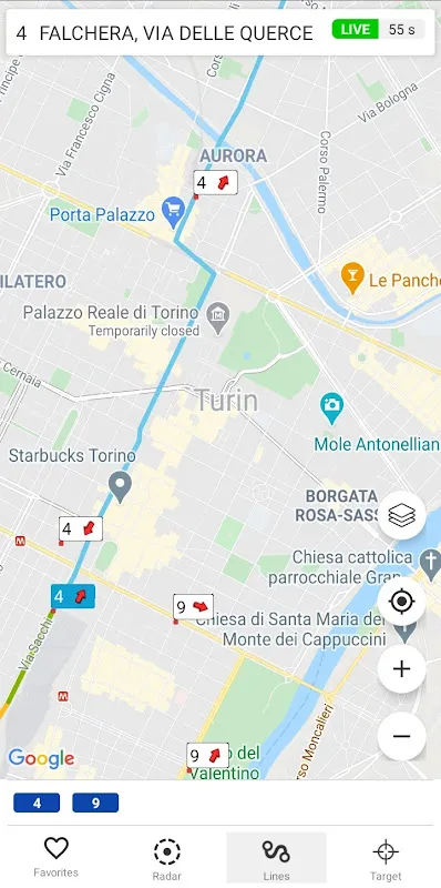
What happened next wasn't magic. It was mathematics. As the app loaded, I watched tiny colored triangles crawl along Prague's transit map like disciplined ants. Real-time vehicle tracking isn't just dots on a screen - it's radar pings from moving trams translated into predictive algorithms. Each triangle represented a physical tram broadcasting its GPS coordinates via onboard telematics systems. BusLive's servers ingested that raw positional data, cross-referenced it with scheduled timetables and historical traffic patterns, then spat out arrival predictions accurate to ±90 seconds. The technical ballet happening behind that simple interface hit me: this was urban cartography in motion, a live digital nervous system mirroring the city's veins.
When Data Becomes WarmthSuddenly, the abstract became visceral. BusLive showed tram #91 as a pulsating blue triangle rounding Národní třída. "Arriving in 4 min" it declared. I stared at those words like a prophecy. Four minutes later, headlights pierced the gloom. The metallic sigh of brakes, the warm gust as doors slid open - I nearly hugged the driver. Inside, thawing fingers traced the app's route display. It showed our tram as a bold blue line devouring the map, while ghostly gray lines revealed other routes snaking through sleeping neighborhoods. This wasn't passive information; it was a conversation. The app's backend continuously compared our actual speed against its predictive model. If we hit unexpected traffic? The estimated arrival at my transfer point would dynamically recalibrate. I watched it happen near Charles Bridge - a 30-second delay blinked into existence, then vanished when we cleared congestion. Such fluidity relies on live data streams processed through adaptive machine learning models that weigh variables like weather and local events.
But perfection? Ha. Two weeks later in Budapest, BusLive betrayed me. Rain lashed against Oktogon station as the app cheerfully promised a bus in 3 minutes. Eight minutes passed. Twelve. The blue dot representing my bus remained frozen mid-route. I later learned why: outdated telematics hardware on that particular line couldn't transmit during heavy downpours. BusLive's flaw? It failed to indicate when its data stream degraded. That glowing "3 min" estimate became a cruel joke as I drowned in uncertainty. Only when I manually refreshed did it sheepishly update to "Delayed - 18 min." That moment exposed the app's Achilles' heel - its elegant predictions assume perfect data flow. When sensors fail or signals drop, it pretends nothing's wrong until forced to confess. The frustration tasted metallic, like licking a frozen lamppost.
Ghosts in the MachineYet even its failures taught me urban anthropology. In Vienna, I noticed BusLive showed phantom buses - vehicles appearing then vanishing from the map. A transit worker later explained: "Ah, those are training runs! New drivers learning routes without passengers." BusLive had tapped into unlabeled data streams, revealing the city's hidden rhythms. I began spotting patterns - how trams slowed near universities between classes, how buses materialized like clockwork behind night-shift factories. The app transformed from a tool into a lens. During a Lyon strike, I watched in fascination as BusLive's algorithms scrambled. Normally crisp lines dissolved into chaotic clusters. Estimated times flickered erratically as the system ingested contradictory location pings from rerouted buses. It was a digital mirror to the human chaos outside - messy, imperfect, but desperately trying to make sense.
Which brings me to last Tuesday. Midnight in Kraków. My phone battery: 7%. A wrong turn left me in a poorly lit square, disoriented. BusLive's offline maps feature - often overlooked - became my savior. Downloaded weeks prior, it rendered the city grid sans live tracking. I walked deliberately toward a major artery, knowing buses would appear there. When I finally spotted headlights, the app confirmed it was line #502 with 80% battery accuracy. That's when I grasped BusLive's true genius: it layers technologies like sedimentary rock. Real-time tracking for ideal conditions, predictive modeling for disruptions, offline maps for catastrophes. Each failsafe peeled back reveals another, like nested Russian dolls of transit security.
Does it eliminate anxiety? No. But it transmutes it. The dread of the unknown becomes the focused tension of watching a countdown tick toward zero. The helplessness of waiting morphs into strategic planning - "If tram #18 is late, I'll jog to catch bus #207 instead." BusLive turns passengers into tacticians armed with radar. And on frozen Prague nights? That feels like warmth.
Keywords:BusLive,news,real time tracking,European transit,public transportation


