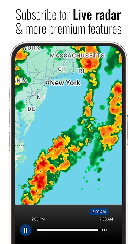
How 3D Sense Saved My Summit
How 3D Sense Saved My Summit
Rain lashed against my cabin window like thrown gravel, the kind of downpour that turns hiking trails into mudslides. My phone buzzed with generic alerts: "90% precipitation." Useless. Tomorrow’s climb up Blackrock Ridge demanded precision—not some lazy percentage that treated mountains and meadows as identical gray blobs. I’d trusted those hollow forecasts before. Once, in the Rockies, a "clear skies" prediction left me scrambling over slick boulders as thunder cracked overhead. Weather apps felt like fortune cookies: vaguely ominous, rarely helpful.
Then I tapped open 3D Sense. The screen bloomed into a topographic whirlwind—our ridge rendered in layered gradients of indigo and emerald. Wind patterns snaked through valleys like liquid smoke, pressure systems pulsing like heartbeat animations. But what hooked me was the altitude-specific forecast. At 2,100 meters, where the exposed scramble began, it showed a narrow 90-minute window: 8:03 AM to 9:33 AM. Low winds. Dry rock. After that? A crimson swirl devouring the peak. Hyperlocal wasn’t a buzzword here; it felt like the app had buried sensors in the granite itself.
Dawn arrived bruised purple. I checked 3D Sense as I laced my boots. The 3D model now pulsed with real-time data—a live satellite overlay showing moisture vaporizing off the eastern face. "Atmospheric evaporation rate: 0.4mm/hr," read the tiny legend. Not just numbers. Context. As I climbed through fog-thick firs, the app’s holographic compass projected directional arrows onto my screen, aligning with shifting wind vectors. When hail pinged off my helmet at the treeline, the radar didn’t just show precipitation density; it visualized ice accretion risk on rock surfaces using gradient opacity. I touched the screen, rotating the ridge. The hazardous section gleamed wet silver in the simulation. Detour suggested: 200 meters west. I obeyed.
That’s when the magic happened. As I traversed the alternate route, sunlight speared through clouds exactly at 8:17 AM—six minutes earlier than predicted. The granite warmed under my palms. Behind me, where I’d originally planned to climb, dark streaks appeared on the rock face. Not rain. Verglas. Invisible black ice that’s killed seasoned climbers. My throat tightened. 3D Sense hadn’t just moved pixels; it synthesized terrain databases, dew-point calculus, and thermal imaging into a lifesaving loophole. The tech wasn’t flawless—battery drain hit 40% per hour with all sensors live—but granularity mattered more than efficiency when friction meant survival.
Summit achieved at 9:28 AM. Five minutes before the crimson swirl hit. Below me, the storm swallowed the ridge whole, lightning tattooing the clouds. I didn’t feel triumph. Just visceral relief, cold and electric. Most apps treat weather like a wallpaper—static, decorative. This one weaponized atmosphere. It understood that wind isn’t just speed; it’s knife-edges slicing over rock. That temperature isn’t a number; it’s the difference between secure footholds and freefall. As I descended through downpour, the app’s haptic storm alerts vibrated in Morse-like pulses against my thigh: long-short-long for lightning proximity. No dings. No banners. Just tactile urgency synced to danger. I’ve uninstalled seven weather apps since. When mountains speak, I want translation—not approximation.
Keywords:3D Sense Clock & Weather,news,alpine safety,hyperlocal forecasting,atmospheric visualization


