Lost in France, Saved by Offline Magic
Lost in France, Saved by Offline Magic
The scent of burnt clutch oil hung thick as I white-knuckled the steering wheel, rain slamming against our rental car like angry pebbles. Somewhere between Lyon's neon glow and Provence's lavender fields, Google Maps had gasped its last data connection. My wife's tense silence spoke volumes - our romantic anniversary drive dissolving into a stress-soaked nightmare on unnamed farm roads. That's when my trembling fingers rediscovered the forgotten compass buried in my apps folder.
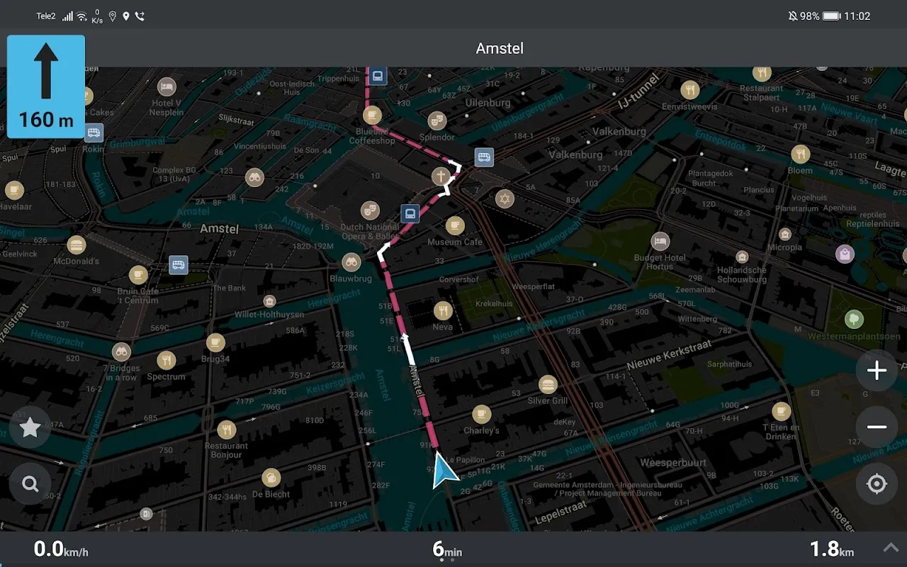
Organic Maps bloomed to life without begging for WiFi, displaying our snaking predicament in crisp detail while rain blurred the real world outside. Vector maps rendered so efficiently my aging phone didn't even warm up, unlike those battery-sucking mainstream alternatives. We watched our little blue dot crawl past vineyards and stone fences the app knew existed but satellites ignored. That open-source wizardry using OpenStreetMap data felt like uncovering secret knowledge - communities collaboratively charting roads too humble for corporate cartographers.
The Whispering Backroads
Three hours later, we stumbled upon Saint-Rémy-de-Provence purely through the app's whispered suggestions. No algorithm pushing sponsored cafes, just honest pins marking where locals actually bought bread. We followed a dotted hiking trail behind a 12th-century monastery that Google hadn't catalogued, our phones comfortably offline as cicadas screamed in the pines. That moment - dusty sandals on ancient stones, wild rosemary scenting the air, zero cellular bars yet perfect navigation - crystallized why privacy-focused tools matter. Nobody harvested our location data; no shadow profiles grew fatter from our wanderings.
Yet days later, fury ignited when Organic Maps betrayed me near Avignon's ramparts. The app stubbornly ignored freshly constructed roundabouts, nearly steering us into roadworks chaos. Cursing its reliance on volunteer updates, I realized the double-edged sword of community mapping: brilliant for hidden footpaths, dangerously outdated for rapid urban development. That infuriating detour cost us a vineyard reservation, souring the magic with frustration.
Ghosts in the Machine
Cycling through Camargue's marshlands revealed another quirk. Flamingo-dotted lagoons shimmered beautifully on screen, but elevation data felt like a drunken guess. What appeared as gentle slopes became thigh-burning ordeals under the Mediterranean sun. Still, watching the app consume mere kilobytes of data while tracking 40km of wetlands felt like technological witchcraft. I imagined the elegant spatial indexing algorithms humming beneath the interface, optimizing every pixel without demanding cloud sacrifices.
Back in Paris' choking traffic, Organic Maps transformed from adventure companion to urban survival tool. Its pedestrian shortcuts through Marais alleyways shaved 15 minutes off museum sprints, though missing real-time transit updates meant we boarded departed trains twice. That stinging inconvenience highlighted the trade-off: flawless privacy versus convenience's seductive poison. Each time I bypassed surveillance capitalism's tollbooth, I paid with minor frustrations - a bargain I'd make again, but not without gritted teeth.
Now when travel anxiety claws at me, I compulsively download regions on Organic Maps like digital talismans. That little green icon represents more than navigation - it's rebellion against constant monitoring packaged as convenience. Yet I still keep mainstream apps as uneasy backups, a reminder that true freedom often demands tolerating imperfections. My phone holds both shackles and skeleton keys; which one unlocks the journey depends entirely on whether I value privacy over perfection at the crossroads.
Keywords:Organic Maps,news,offline navigation,open source mapping,digital privacy


