Lost in Rockies, Saved by Offline Maps
Lost in Rockies, Saved by Offline Maps
Rain lashed against my windshield like pebbles as twilight swallowed Highway 93 through the Canadian Rockies. My knuckles whitened on the steering wheel when the "FULL" sign at Kicking Horse Campground materialized through the downpour. No cell signal. No backup plan. Just jagged peaks closing in as darkness bled the last cobalt from glacial lakes. That's when my trembling thumb stabbed the AllStays Camp & RV icon - a last-ditch move from my pre-trip download frenzy. Within seconds, its neon-green tent symbols glowed like emergency beacons across the valley. Offline GPS triangulation pinned me between two forest service roads while the app's terrain overlay revealed elevation drops invisible to my fogged-up eyes.
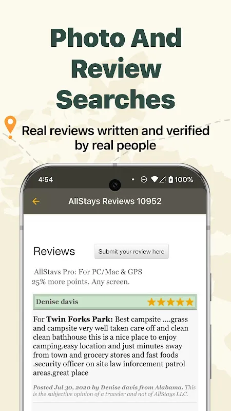
I remember the violent shudder of relief when filtering for "walk-in sites with water access." The interface felt brutally utilitarian - no flashy animations, just raw data grids listing pit toilets and bear locker distances. Yet in that moment, its clunky dropdown menus became sacred texts. It flagged a primitive clearing 7km west where crowdsourced updates confirmed spring water flowed year-round. Driving there felt like following Ariadne's thread through Minotaur country: unmarked turns, logging roads disintegrating into mud slicks, the app's distance counter ticking down like a defibrillator. When headlights finally illuminated that hand-painted "Willow Creek" board, I nearly kissed my cracked phone screen.
Dawn exposed AllStays' jagged edges though. While its database knew about the rusty pump handle, it didn't warn me about the marmot battalion that ransacked my granola stash. The Wilderness Tax they call it - pay in inconveniences for true solitude. Later, scrolling nearby options, I cursed the $0.99 IAP for RV dump station filters. Highway robbery for a tent pilgrim! Yet when morning fog erased the valley below, I forgave everything. That little grid of campsites embedded in mountain wilderness felt like finding braille on a dragon's scale - technology stripped to its essential bones.
Back home, I dissected the magic. Unlike cloud-dependent apps, AllStays caches vector maps locally - think topographic origami unfolding from your device's belly. Its POI database updates through manual community submissions rather than scraping unreliable web sources. Foundational stuff, yet most navigation tools treat wilderness like an afterthought. Still, I'd trade all its RV sewer hookup data for one simple feature: a "solo female safety" rating. Some scars no algorithm can map.
Keywords:AllStays Camp & RV,news,offline wilderness navigation,camping survival,backcountry tech


