Lost in the Outback with No Bars to Save Me
Lost in the Outback with No Bars to Save Me
Red dust coated my windshield like dried blood as I white-knuckled the steering wheel, heart pounding against my ribs like a trapped bird. Somewhere between Alice Springs and Darwin, my truck's GPS had blinked out, leaving me stranded in a sea of rust-colored nothingness with a 12-ton mining equipment trailer hitched behind me. The Australian Outback doesn't care about deadlines or panic - it swallows fools whole. Sweat trickled down my neck, sticky and relentless, as I stared at my useless phone screaming "NO SERVICE" in mocking bold letters. That's when I remembered the app I'd downloaded as an afterthought: CoPilot GPS.
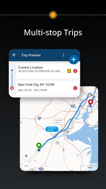
Fumbling with trembling fingers, I fired it up, half-expecting another digital disappointment. Instead, a crisp voice cut through the static of my panic: "Offline maps loaded. Specify vehicle profile." I'd input my rig's specs weeks prior - 4.3m height, 18m length, 14-ton weight - but never imagined I'd need it in this godforsaken place. The interface glowed like a campfire in the darkness, plotting a thin blue line through the wilderness while calculating gradient tolerances and bridge weight limits in real-time. Every turn notification felt like a lifeline thrown across churning waters.
What saved me wasn't just the routing, but how it embedded terrain intelligence into every decision. As I crawled along dirt tracks that vanished into mirages, the app warned me about sandy patches that could swallow my rig whole using elevation algorithms usually reserved for geological surveys. When I hit a washed-out creek bed at midnight, it instantly recalculated, avoiding what would've been a 300km detour by analyzing satellite topographical data cached during my last WiFi connection. The way it cross-referenced my vehicle's center of gravity against the angle of descent made me feel like I had an engineer riding shotgun.
But let's not pretend it was perfect. Three days into that hellish trek, I wanted to strangle the emotionless British voice calmly announcing, "In 500 meters, turn left onto unsealed road" while kangaroos materialized like ghosts in my headlights. The battery drain was brutal - I had to jury-rig a charging setup from my truck's auxiliary power, cursing how it devoured 30% per hour with the screen active. And don't get me started on the infuriating lag when trying to report road hazards, the app freezing like it was buffering the apocalypse itself.
Yet when I finally rolled into Katherine with dust-caked teeth and shaking hands, I understood why this wasn't just software. It was the difference between sleeping in my cab praying for dawn versus being another Outback statistic. Now when I prep for remote hauls, downloading regional maps feels like packing parachutes - tedious, bulky, but absolutely non-negotiable. CoPilot doesn't just show you roads; it teaches you respect for the brutal physics between rubber and earth.
Keywords:CoPilot GPS,news,offline navigation,vehicle profiling,Australian Outback


