Lost in the Sierra Madre
Lost in the Sierra Madre
The mountain air bit through my flimsy windbreaker as twilight painted the pines in long, accusing shadows. My hiking buddy Carlos and I exchanged that silent look – the one where bravado cracks like thin ice. We'd ignored the park ranger's warning about unmarked trails, seduced by a waterfall photo on Instagram. Now the "shortcut" had swallowed every familiar landmark whole. Carlos fumbled with his dying phone, the glow illuminating panic in his eyes. "No signal. Nothing." That metallic taste of fear? It flooded my mouth.
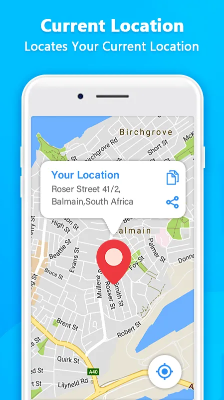
Then I remembered. Buried in my apps folder sat GPS Route Finder, downloaded months ago for a city conference and forgotten. With numb fingers, I stabbed the icon. The map loaded with agonizing slowness, taunting us as darkness deepened. But when it finally bloomed on screen? Topographic lines sharper than a cartographer's dream. Our pulsing blue dot sat terrifyingly far from the safe zone. Yet seeing that digital lifeline – that real-time breadcrumb trail – felt like oxygen returning to the room.
The Algorithm Whisperer
What followed wasn't magic; it was cold, beautiful math. The app didn't just show a path – it dissected the wilderness. Slope angles shaded amber for "knee-breakers." Stream crossings marked with water-level icons updated via satellite data. It calculated our pace, our elevation drop, even the degrading battery life, then rerouted twice as rockfalls blocked our initial escape. Under the hood, it's crunching LiDAR terrain data and stitching it with crowd-sourced hiker telemetry – a digital nervous system humming across the wilderness. When it suggested a near-vertical scramble marked "experienced only," Carlos balked. "That thing trying to kill us?" But the alternative added three hours in bear country. We climbed. Every handhold felt like a negotiation with code.
The Glitch in the Machine
Dawn found us staggering into the ranger station, mud-caked and trembling. The ranger scanned our route log on GPS Route Finder, whistling low. "Lucky you had this. Most idiots... well." But the victory soured hours later. Reviewing the trek, I spotted it – a jagged red line veering off our actual path for 17 minutes near Dead Man's Gulch. No warning. No recalibration. Just... wrong. That phantom detour could've been catastrophic in whiteout conditions. Turns out, dense canopy plus a sudden solar flare had briefly overwhelmed the multi-frequency GNSS chip. Reliance breeds complacency. Trusting this app blindly? That's playing Russian roulette with topography.
After the Mountain
Now? I curse this app with the fervor of a jilted lover. It hijacked my spontaneity. Weekend drives involve obsessive pre-loading of offline maps. I judge friends who share locations via primitive SMS pins. Yet when fog swallowed the highway last Tuesday, reducing traffic to a brake-light purgatory, its calm voice slicing through the gloom – "recalculating... take exit 43 in 800 meters" – felt like divine intervention. That's the trap. For every flawless trail salvation, there's a grocery run where it directs me into a brick wall. The predictive traffic engine is witchcraft, absorbing millions of anonymized movement pings to model flow. But when servers hiccup? Poetry turns to nonsense.
Carlos still ribs me about "that robot that saved our asses." He's wrong. It didn't save us. It armed us. Gave us eyes when ours failed. Made the unknown landscape legible. But wield this tool without respecting its edges, its hunger for battery, its silent failures? That’s how awe curdles into hubris. My compass now lives beside my phone. One points north. The other reminds me silicon isn't salvation. It's just a very smart piece of the storm.
Keywords:GPS Route Finder,news,offline navigation,wilderness safety,GNSS limitations


