My Quake Awakening: When Crete Shook Me Alert
My Quake Awakening: When Crete Shook Me Alert
The scent of lemon blossoms hung heavy that afternoon as I balanced a tray of loukoumades on the rickety balcony of my rented Cretan cottage. Below, the Libyan Sea shimmered like shattered sapphire - deceptively tranquil. Then came the growl. Not thunder, but a deep subterranean snarl that vibrated up through the terra-cotta tiles, making the honey-drenched pastries dance on their plate. My knuckles whitened on the railing as the whole hillside swayed like a drunk sailor. Thirty seconds of primal terror where time dilated - long enough to count each ceramic pot crashing from neighbor's ledges, to see dust plumes rise from ancient stone walls, to taste copper-flavored fear on my tongue.
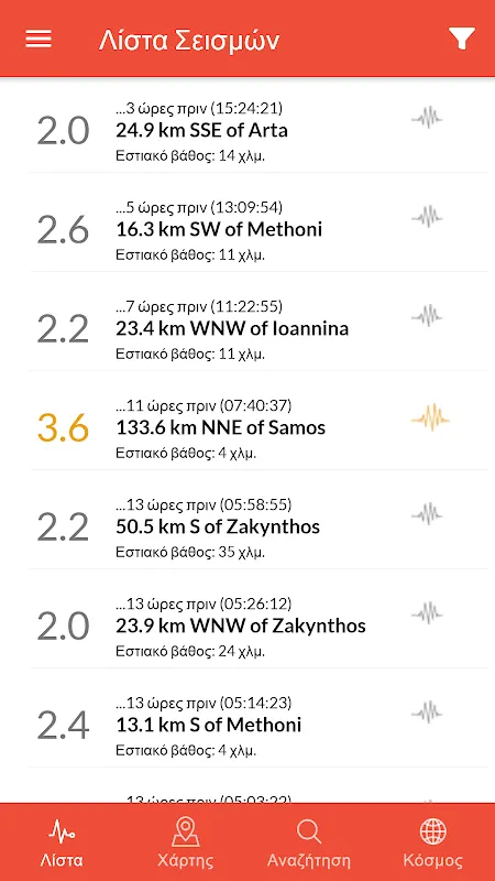
When the earth stilled, my trembling fingers fumbled through phone apps until I found it - that unassuming blue icon with a jagged white line. What flooded in wasn't just data, but visceral understanding. The real-time seismograph visualization showed the angry spike that just rocked us: 5.7 magnitude, epicenter 20km offshore. Suddenly abstract geology became terrifyingly personal as the map displayed concentric circles radiating directly beneath my shaky feet.
Nightfall transformed into a different beast. Each creak of the old house became an aftershock phantom. That's when the app's Push Alerts became my sanity anchor. At 3:17AM, a soft chime - not the blaring emergency tone, but the gentle "new data available" ping. I watched live as a 3.1 ripple pulsed harmlessly through the fault line. The genius lies in its hierarchy: catastrophic quakes scream through speakers, minor tremors whisper in notifications. This nuanced acoustic threat-level coding let me breathe again, separating real danger from nervous imagination.
By dawn, I'd fallen down the seismic rabbit hole. The app doesn't just report - it teaches. Swiping left revealed decades of historical quakes layered like geological strata. That innocuous stretch of coast near Rethymno? It blinked crimson with 35 significant events since 1950. The educational modules transformed technical jargon into gut-level comprehension - learning about "liquefaction potential zones" while staring at my building's foundation felt disturbingly intimate.
Yet perfection eludes. During the fourth aftershock, frustration boiled when the Interactive Risk Map froze mid-load. Turns out this life-saving tool guzzles bandwidth like a parched camel - disastrous when networks falter during actual disasters. And that sleek interface? It hides clunky legacy code. Manually adjusting alert thresholds requires navigating three submenus and a cryptic slider bar that seems calibrated by Kafka.
The real magic happened on day three. Fishing boats bobbed peacefully when my phone erupted with that heart-stopping siren - 10 seconds before the second wave hit. Those precious moments came from early-warning algorithms triangulating offshore sensors faster than seismic waves travel. I dove under the oak table as the world bucked again, weirdly calm this time. Knowledge didn't prevent the quake, but it shattered the helplessness.
Now back in London, I still keep it running. When the Tube makes my apartment tremble, I glance at the app's peaceful flatline and smile. But last Tuesday, it buzzed urgently - not for me, but showing a 6.2 quake near Patras. My fingers flew to messaging apps, relief flooding when Theo from Athens hostel replied "All good!" That's the unadvertised superpower: transforming users into a distributed nervous system across the Hellenic plate. We're all fault-line sentinels now.
Keywords:Greece Earthquakes,news,seismic alerts,earthquake preparedness,geohazard awareness


