Offline Maps, Found Paths
Offline Maps, Found Paths
Rain lashed against my hood like gravel as I scrambled over slick boulders in Arthur's Pass, each step sinking deeper into mud that smelled of wet earth and decay. My paper map had disintegrated hours ago, reduced to pulpy shreds in my pocket. When the fog rolled in thick as wool blankets, swallowing the ridge markers whole, panic seized my throat with icy fingers. That's when I remembered the app I'd downloaded as an afterthought back in Christchurch - NZ Topo Map - mocking me with its untested promise of offline salvation.
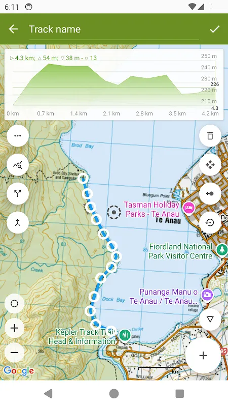
Fumbling with frozen fingers, I thumbed my phone awake. No signal, just as expected. But the blue dot appeared instantly, crawling across a vector-based terrain model so detailed I could trace individual scree slopes. The contour lines didn't just show elevation - they whispered warnings. That innocent-looking gully? A 70-degree death trap masked by swirling mist. The app's brutal honesty felt like a backcountry mentor grabbing my collar: "See these clustered lines? That's a cliff, you idiot."
What shocked me wasn't just the precision, but how it transformed landscape into living anatomy. Zooming revealed hidden saddles between peaks like cartilage connecting bones. Ancient glacier scars became visible as pale streaks on the digital canvas, while hydrological data layers painted blue veins across the mountainside. I finally understood why locals call these ranges "the spine of the South Island" - the app dissected topography with X-ray vision.
My gratitude curdled into fury during descent. The interface fought me like a stubborn pack strap whenever I tried dropping pins on potential campsites. Each mis-tap cost precious battery percentage bleeding away in the cold. At 3% power, I screamed obscenities at the glowing rectangle, convinced it would abandon me in the gathering dark. Then it did something magical: dimmed into ultra-power-sipping mode, preserving just enough juice to guide me to a tarn not marked on any physical map. The bastard knew I needed it.
Dawn broke over frost-rimed tents with cruel beauty. What the app couldn't show me? How that final kilometer would shred my knees on hidden root networks, or how keas would ransack my pack the moment I turned my back. Technology doesn't teach you to read the murderous glint in a parrot's eye. But when I traced tomorrow's route over breakfast - finger hovering above avalanche paths colored warning-orange - I kissed the cracked screen like a zealot touching relics.
Keywords:NZ Topo Map,news,offline navigation,wilderness safety,topographic data


