Raindrops Against the Screen
Raindrops Against the Screen
Lightning cracked outside my window as I frantically shuffled through waterlogged index cards spread across the kitchen table. The storm had caught us mid-route - Sister Henderson's carefully color-coded territory map now resembled abstract art, ink bleeding through soaked cardstock. My fingers trembled not from the chill, but from the crushing weight of knowing three months of assignment tracking was dissolving before my eyes. That's when the notification pinged from my forgotten tablet: *"Territory #7B updated - 2 new returns logged."* In that chaotic moment, I finally understood why Brother Davies kept raving about that ministry mapping system during service meetings.
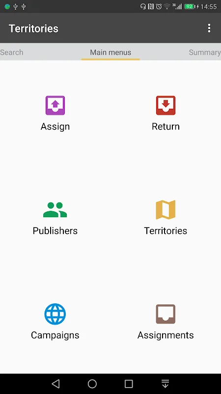
Installing the app felt like admitting defeat initially. For twenty-three years, I'd taken pride in my leather-bound territory ledger - the weight of its pages tangible proof of service hours. But watching Sister Henderson blot tears from her eyes as we salvaged smeared addresses, I surrendered. The setup process shocked me; within minutes, our entire regional map materialized on screen with crisp boundaries I could pinch-zoom. Unlike paper's cruel permanence, these digital borders flexed as neighborhoods evolved. When I drew my first virtual boundary line around the new apartment complex on Elm Street, the app automatically calculated optimal walking routes based on municipal data - algorithmic efficiency meeting spiritual purpose in ways I'd never imagined.
Thursday mornings transformed. Gone were the pre-dawn rituals of photocopying assignment sheets and collating physical reports. Instead, I'd sip coffee while reviewing push notifications about completed territories - the app's backend quietly timestamping each publisher's progress. What truly stunned me was during the Memorial campaign. As coordinators from three congregations gathered in our Kingdom Hall basement, I watched Brother Chen demonstrate how the cloud-synced system automatically redistricted territories based on real-time activity. "See this heatmap overlay?" he pointed at pulsing crimson zones. "The algorithm detects low-coverage areas by tracking duration between visits." My paper ledger would've needed psychic powers for that insight.
Yet the app truly saved us during the flood relief efforts. When Cedar Creek overflowed, emergency teams needed instant access to territory maps showing elderly publishers' homes. My hands shook as I tapped "Export Crisis Data" - within seconds, paramedics had GPS coordinates of every vulnerable household overlayed with evacuation routes. Later, I discovered the system employed offline-first architecture, secretly caching maps during spotty cell service. That tiny technical grace meant Sister Petrovsky got her insulin when roads were impassable.
Of course, the transition wasn't celestial perfection. I nearly threw my tablet when the auto-reminder feature first activated - its cheerful chime announcing "Territory 5C overdue!" during Brother Miller's funeral talk. And the map rendering glitch that briefly turned our rural routes into Salvador Dali paintings? Let's just say publishers arriving at non-existent cornfield addresses weren't amused. But these were growing pains, not failures - unlike the paper system's fatal flaw of being one coffee spill away from obliteration.
Last Tuesday cemented my conversion. Preparing for regional assembly, I instinctively reached for my leather binder... only to find it repurposed as a plant stand. Instead, I projected live territory metrics onto the auditorium screen - vibrant, living data flowing like spiritual currents. As elderly Sister Wilkins marveled at seeing her 54 years of service visualized in pulsing connection lines, I finally grasped this wasn't just replacing paper. It was revealing patterns of compassion previously lost in filing cabinets. The app didn't just organize our ministry - it illuminated its heartbeat.
Keywords:Congregation Territories,news,ministry mapping,digital organization,field service coordination


