RideLink Saved Our Mountain Nightmare
RideLink Saved Our Mountain Nightmare
Rain lashed against my visor like shrapnel as I fishtailed around Dead Man's Curve. My headlight barely pierced the fog swallowing Colorado's Peak-to-Peak Highway – a scenic route turned death trap in the July monsoon. Somewhere behind me, Mike's bike had vanished. Two hours earlier, we'd been laughing over breakfast burritos, giddy about conquering this pass together thanks to that new motorcycle app. Now? Pure dread clawed at my gut.
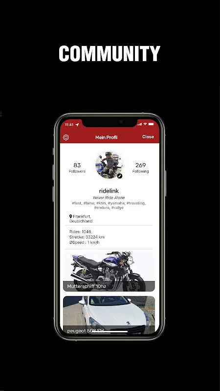
I remember scoffing when Tom first showed me RideLink at Sturgis. "Another social app?" I'd grumbled, wiping engine grease off my phone. But the damn thing practically forced camaraderie. That mesh networking tech – bleeding-edge stuff using Bluetooth and Wi-Fi direct – meant our phones chattered like squirrels even without cell towers. When Mike spun out on black ice near Allenspark, his BMW's inertial sensors triggered RideLink's crash alert before his helmet even scraped pavement. My handlebar mount lit up like a police strobe with his coordinates while the app automatically dialed 911.
When Tech Becomes LifelineWhat saved us wasn't just the GPS. It was how RideLink digested terrain data like a cartographic sommelier. While Google Maps showed cheerful dotted lines, this beast calculated elevation gradients, predicted microclimate shifts, and warned about gravel patches before they sent you flying. When Mike went radio-silent after his spill, the app's predictive breadcrumb trail – analyzing lean angles and throttle patterns – led me straight to him shivering under a pine tree. The "group heartbeat" feature pulsed erratically on my screen, mirroring my own racing pulse as I ripped open my first-aid kit.
But let's gut-punch the ugly truth: that same genius tech nearly got us killed earlier. RideLink's route algorithm, obsessed with finding "epic twisties," ignored mudslide warnings from CDOT. We blindly followed its glowing path like digital lemmings until the asphalt dissolved into chocolate pudding. I'll never forget the visceral terror of feeling my 800-pound Harley hydroplane toward a 300-foot drop – saved only by slamming into Mike's stalled GS. The app chirped "Recalculating!" with infuriating calm as we wrestled bikes from the muck.
Brotherhood Forged in CodeHere's where RideLink stopped being software and became a lifeline. That night, huddled in a lean-to with hypothermic Mike, I discovered its secret weapon: the distributed communication web. With cell towers dead, our phones formed a daisy-chain network stretching 18 miles to Nederland. Each rider became a signal repeater, relaying SOS messages like digital carrier pigeons. When rangers finally reached us at dawn, they stared at our jury-rigged tech in disbelief. "You did WHAT with smartphones?"
I still curse RideLink's arrogance – that slick algorithm thinking it knows mountains better than locals. But when Mike's broken collarbone healed, we toasted the app with whiskey. Not for its pretty maps or social features. For transforming six strangers' phones into a neural net that screamed "WE ARE HERE" into the void. Next month? We're tackling the Dalton Highway. RideLink's already buzzing with warnings about permafrost melt. Bring it on, you beautiful, reckless digital bastard.
Keywords:RideLink,news,mesh networking,motorcycle safety,group riding


