Sunrise Redemption on the Appalachian Trail
Sunrise Redemption on the Appalachian Trail
That godforsaken morning at McAfee Knob still haunts me. Shivering in predawn darkness after a 3AM alpine start, I'd scrambled up treacherous rocks only to watch the horizon bleed orange behind thick clouds - exactly where I wasn't facing. My thermos of lukewarm coffee tasted like defeat as daylight exposed my position: a full 180 degrees from the celestial spectacle. All because I trusted some hiking blog's generic "face east for sunrise" advice. Three seasons of failed summit moments taught me that celestial bodies laugh at human approximations.
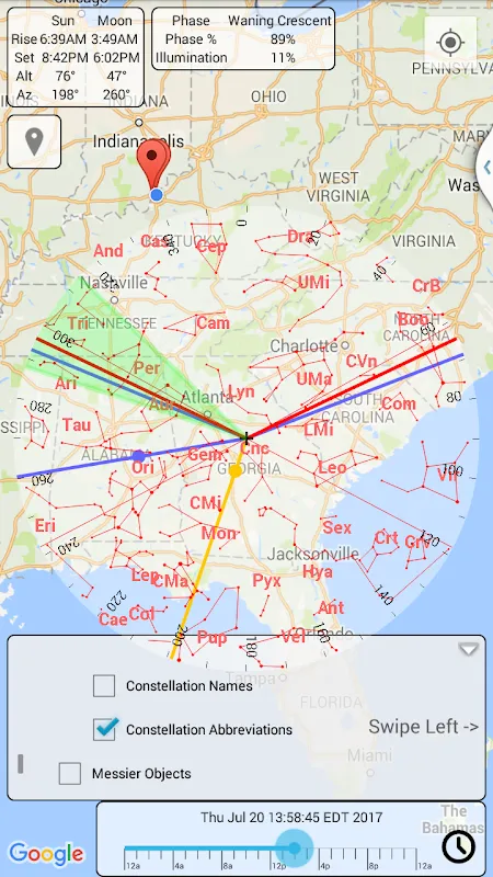
Everything changed when my trail buddy shoved her phone in my face during a shelter break. "This witchcraft calculates sunrise vectors down to the minute," she declared, showing a glowing arc overlaid on a topographic map. Skepticism warred with desperation as I downloaded the solar tracker right there beside a pile of bear canisters. That night, studying its interface by headlamp felt like cracking open a forbidden astronomy text - all azimuth angles and declination curves. The app didn't just show positions; it revealed the sun's choreography through mountain profiles with terrifying precision.
My trial run happened at Dragon's Tooth overlook. Setting up my tripod at 5:23AM according to the ephemeris tool, I watched the prediction unfold with religious awe. First came the computational magic: using my phone's gyroscope and GPS, it compensated for 2,300ft elevation and the specific ridge obstruction to my northeast. Then the payoff - golden light erupted at precisely 5:47AM, exactly through the V-notch the topographic overlay highlighted. When that molten beam hit my lens, I nearly wept into my viewfinder. For the first time, technology didn't distance me from nature - it forged a deeper connection.
What elevates this from digital tool to backcountry companion is how it handles atmospheric trickery. Last October in the Whites, pre-dawn fog threatened another disappointment. But the astral navigation app accounted for refraction - showing me exactly where the sun would pierce the mist 8 minutes later. That moment of the solar disc materializing through gloom felt like witnessing cosmic clockwork. I've since learned to interpret its color-coded lunar phases too, planning full-moon hikes where shadows become silver allies rather than disorienting foes.
Battery anxiety? Minimal. The astronomical calculator runs shockingly lean - a single overnight charge survived four days of constant solar tracking. I've cursed its interface though; during a sleet storm in Shenandoah, frozen fingers fumbled with the declination toggle. And woe betide you if you forget to download offline terrain data - watching those critical vectors disappear mid-ascent induces primal panic. But these are quibbles against its core brilliance: transforming celestial mechanics into tangible wilderness moments.
Now when I shoulder my pack before dawn, it's with conspiratorial confidence. This isn't some sterile weather app - it's a backstage pass to planetary movements. Last week at Clingmans Dome, I arrived 12 minutes before sunrise and positioned three photographers using azimuth coordinates. As dawn painted the Smokies in liquid amber, we weren't just spectators. We were time travelers who'd outmaneuvered the rotation of the planet itself.
Keywords:Sun Position Map,news,celestial navigation,landscape photography,outdoor technology,astronomical tracking


