Trail Rescued by a Blue Dot
Trail Rescued by a Blue Dot
My boots crunched on gravel as I pushed deeper into the Santa Monica mountains, the Pacific breeze carrying salt and sage. Euphoria pulsed through me – until I glanced back and saw identical scrub oak ridges in every direction. That postcard-perfect sunset? Now a blood-orange smear bleeding across a sky swallowing landmarks whole. Panic hit like a physical blow: dry mouth, trembling hands fumbling for a water bottle that suddenly felt like lead. No cell signal. No trail markers. Just the mocking chirp of crickets and the sickening realization I'd gambled with daylight.
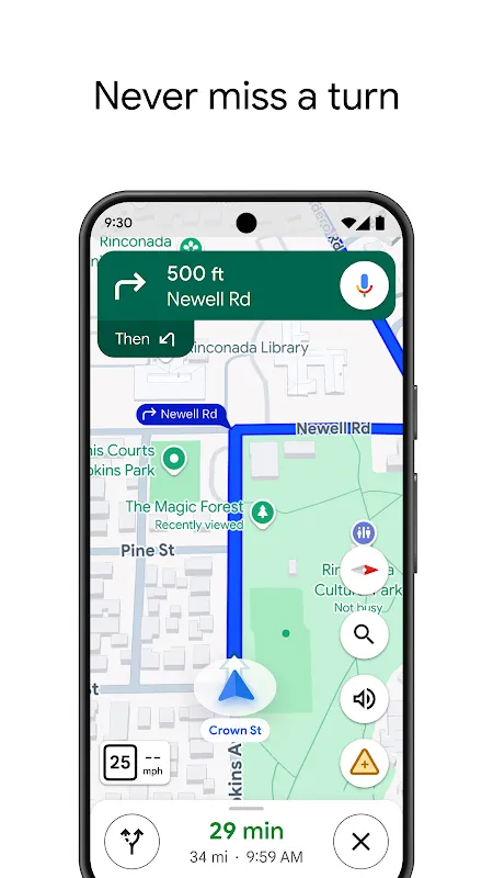
Hours earlier, smugness had fueled my steps. "Who needs a paper map?" I'd scoffed, downloading some offline area on Google Maps as an afterthought. Now, crouched behind a boulder as violet twilight deepened, I stabbed at my phone with numb fingers. The screen flickered – 12% battery – then bloomed into salvation. That steady azure dot on the digital terrain felt like a lifeline thrown across dimensions. It wasn't just location; it was GPS triangulation cutting through wilderness silence, whispering coordinates when human senses failed. I traced the elevation lines with a shaky finger, realizing I'd veered off-trail near a dry creek bed the map rendered in meticulous detail. Every contour felt like an apology from the universe.
The real magic unfolded as I moved. Without cell towers, the app leaned entirely on pre-loaded vector data and satellite positioning. Watching that blue dot glide across the digital landscape as I scrambled up a scree slope was pure sorcery – offline vector rendering transforming abstract data into a breadcrumb trail home. Yet frustration flared when the screen dimmed automatically, nearly invisible under the moonless sky. I cursed the brutal battery drain, shielding the display with my jacket like some analog relic. For every moment of awe – spotting a hidden switchback the map revealed – there was raw fury at nearly losing my digital compass to a dead battery.
When the trailhead parking lot finally materialized, bathed in the harsh glow of my headlights, I slumped against the steering wheel. Not just relief, but profound disorientation. The wilderness hadn't changed, but my perception had fractured. Those contour lines on my phone weren't just graphics; they were algorithmic interpretations of seismic shifts. That little blue dot? A triumph of orbital mechanics and real-time computation. Yet the experience left me uneasy – terrain awareness shouldn't come with existential whiplash. The app saved me, yes, but it also erased the delicious uncertainty of being truly, gloriously lost. I drove away haunted, not by coyotes, but by the quiet tyranny of knowing exactly where I stood at all times.
Keywords:Google Maps,news,hiking navigation,offline maps,wilderness rescue


