Trails Offroad: My Rocky Mountain Lifeline
Trails Offroad: My Rocky Mountain Lifeline
White-knuckling the steering wheel as sleet hammered my truck's roof near Telluride, I realized my adventure had tipped into survival territory. The "scenic shortcut" from AllTrails vanished where the asphalt ended, leaving me staring at a wall of fog-shrouded pines with nothing but a rapidly dying phone battery. That's when I remembered the neon green icon buried in my apps folder - my last-ditch hope before calling mountain rescue.
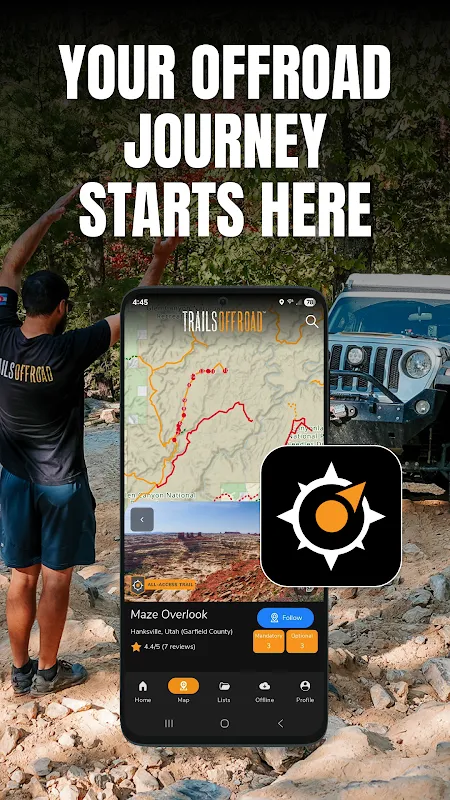
What happened next felt like technological witchcraft. As the app booted up, the screen exploded with topographic contours in burnt sienna and trail markers brighter than emergency flares. My trembling finger traced the digital path revealing switchbacks invisible to my waterlogged eyes. When the 3D terrain rendering kicked in, showing exactly how the ridge dropped off 200 feet to my left, I actually laughed aloud - half-hysterical relief, half-awe at seeing the mountain's bones laid bare. This wasn't navigation; it was x-ray vision for dirt roads.
That descent became a revelation in layers. Beyond basic GPS, Trails Offroad served up crowd-sourced gold: "Rockslide after mile 7.2 - take chicken track left" from user BigFootRunner87, accompanied by a photo showing boulders that would've high-centered my rig. The app's offline waypoint system saved me when I lost cell service completely, its pre-loaded maps humming along while my phone screamed for signal. I learned to trust its gradient warnings implicitly after feeling my tires lose purchase exactly where it predicted "35% incline - low gear essential."
But oh, how I cursed it three weeks later near Sedona. The app proudly displayed a "moderate" trail that turned into axle-twisting hellscape after monsoon rains. User submissions clearly hadn't updated the washouts, and I spent two sweaty hours winching over debris while the cheerful orange line insisted "You are on route!" That day taught me to treat its community data like a sketchy bar tip - verify with tire marks on the ground.
Now I won't even check tire pressure without it running. This digital trail sherpa has rewired my relationship with wilderness, transforming blind panic into calculated thrill. When its topo lines sync perfectly with the actual ridge outside my windshield, I feel like I've cracked nature's code. Sure, it occasionally tries to kill me with outdated beta, but that's part of our dysfunctional love story. My passenger seat belongs to a ghost in the machine now - one who remembers every rock and rut better than I ever could.
Keywords:Trails Offroad,news,off-road navigation,4x4 trails,topographic mapping


