When Flowx Saved My Hike
When Flowx Saved My Hike
That crisp alpine air tasted like impending disaster as I tightened my backpack straps. My weather app's cheerful sun icon mocked me while distant thunder rumbled - classic Schrödinger's forecast where I'd either get drenched or sunburned within the same hour. I'd already canceled two summit attempts because standard apps treated weather like a binary toggle, completely ignoring how wind patterns race through mountain passes like invisible rivers. My fingers trembled not from cold but frustration as I watched those lazy percentage icons that couldn't capture how a 30% chance meant certain downpour at this altitude.
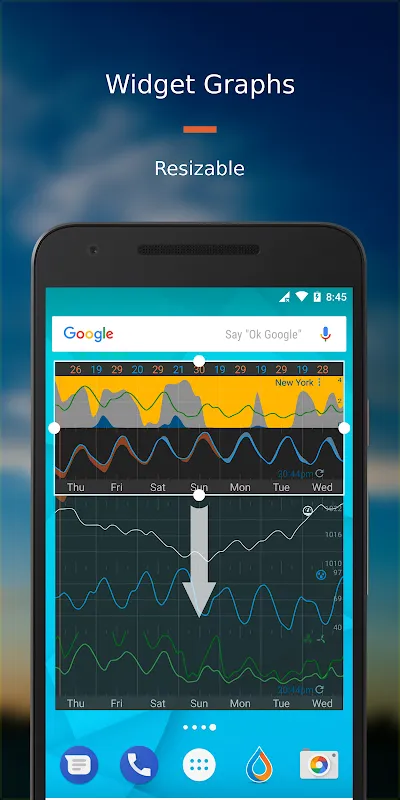
Then I remembered that obscure red icon I'd downloaded during a midnight research binge. Opening Flowx felt like peeling back reality's curtain - suddenly I wasn't looking at oversimplified icons but watching atmospheric choreography unfold. The pressure gradients materialized as swirling blue rivers, showing exactly how the cold front would squeeze through Eagle Pass at 3PM. I zoomed into the topographic overlay until I could practically feel the ridge lines redirecting wind currents. That moment of clarity hit like lightning - I finally understood why my previous hikes got ambushed by micro-storms that never appeared on standard forecasts. This wasn't prediction; it was atmospheric translation.
The real magic happened during descent when ominous purple blobs converged on my route. Traditional apps would've just flashed generic storm warnings, but Flowx revealed the storm's anatomy - displaying how the updraft cores would collapse before reaching the valley. I timed my break perfectly, sipping tea under a rock overhang while watching hail vaporize 500 feet above me. The app's radar fusion made me feel like I had X-ray vision, seeing through clouds to track the storm's electric heartbeat via lightning density maps. That tactile connection to the sky transformed panic into awe as I witnessed meteorological violence become a beautiful data ballet.
But let me rage about the learning curve - those first attempts felt like deciphering alien star charts! The kinetic scrolling initially made me nauseous, spinning weather models like a drunk disco ball. And why does the pressure animation stutter when you overlay precipitation? I nearly threw my phone off a cliff when it froze during that critical pre-storm decision window. Yet this friction made mastery sweeter - conquering the multi-touch gestures to peel apart atmospheric layers gave me godlike confidence. Now I obsessively compare ECMWF versus GFS models like a gambler studying racehorses, mentally calculating how the high-resolution terrain mesh affects valley fog formation.
Watching novices check basic apps now feels like observing cavemen banging rocks together. Last week I smirked as day-hikers fled an "unexpected" squall while I adjusted my route using Flowx's wind trajectory lines. That visceral satisfaction when you beat the mountain? Priceless. The app hasn't just improved my hikes - it's rewired how I perceive the world. Now I catch myself analyzing cloud formations during city commutes, mentally mapping pressure differentials across skyscrapers. Sometimes I open it just to watch jet streams paint liquid patterns across continents, a hypnotic reminder that we're all just ants crawling beneath an ocean of air.
Keywords:Flowx Weather Map Forecast,news,atmospheric visualization,outdoor safety,weather modeling


