When My Bike Went Silent in the Mojave
When My Bike Went Silent in the Mojave
Dust caked my throat like sandpaper as I squinted against the white-hot glare. Somewhere between Barstow and the Nevada border, my Triumph's engine coughed—that sickening metallic rattle no rider wants to hear at 102°F with 47 miles between fuel stops. I'd gambled on a "shortcut" through the Mojave's furnace, seduced by empty roads promising solitude. Now that solitude felt like a death sentence as my bike shuddered to stillness beneath me, the silence louder than any engine roar.
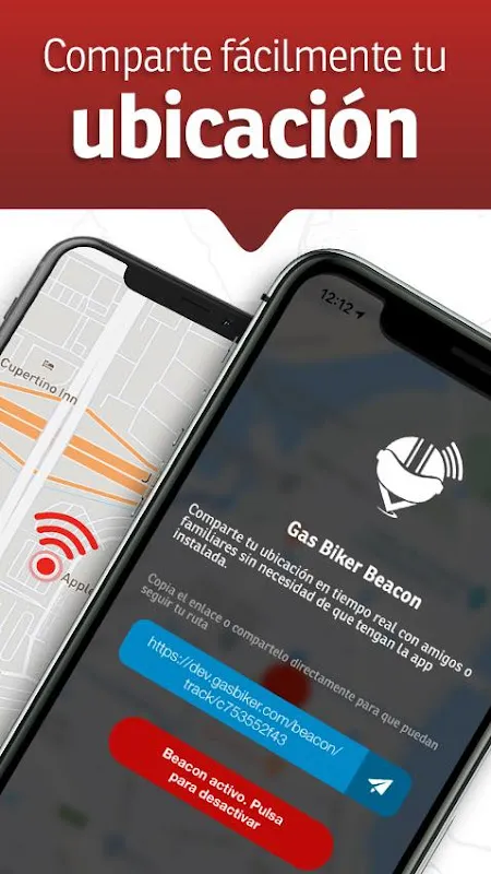
My fingers trembled punching SOS buttons that wouldn't connect. Zero bars. Zero hope. Then I remembered the app I'd mocked as overkill when my riding group insisted I install it. Gas Biker's offline mesh networking—some tech wizardry using Bluetooth and peer-to-peer protocols—suddenly became my lifeline. With hands shaking from adrenaline, I triggered the emergency beacon. No dramatic sirens, just a subtle vibration confirming my coordinates were broadcasting like a digital flare into the void.
What happened next still knots my stomach. Within 8 minutes—I counted each second—a dot appeared on my screen crawling toward my location from the east. Jim, a stranger whose profile showed he was hauling a trailer 20 miles away, intercepted my distress signal through the app's mesh network. His message blinked on my handlebar-mounted phone: "Stay in shade. Bringing water & tools." The app had bypassed dead zones by hopping his signal through two other riders' devices like a high-tech game of telephone. When his truck crested the horizon, I nearly wept at the sight of his water jugs glinting in the sun.
This wasn't some sterile rescue app. While Jim worked on my fried ignition coil, Gas Biker's group tracking pulsed with concerned messages from my crew back in Phoenix. They'd seen my status flip to "stranded" and were coordinating motel rooms and a flatbed via the shared map. The true magic? The predictive terrain routing—using elevation data and historical breakdown reports—had already suggested safer routes around this death-trap canyon that I'd arrogantly ignored.
Yet it's not flawless tech salvation. Last month, its hyper-sensitive crash detection misfired when I dropped my bike in a parking lot. My emergency contacts got panicked alerts complete with coordinates—mortifying when I had to explain it was just a tipped-over luggage rack. And the battery drain! Running constant location pings and mesh networking murdered my phone's charge until I bought a heavy-duty power bank that now lives permanently in my saddlebag.
Tonight, planning my redemption ride through Utah's Bear Ears, the app's contour lines reveal hidden washouts that nearly killed me last monsoon season. I'm layering waypoints where Jim insisted I test my coolant levels—a ritual born from desert trauma. When I hit "share route," my screen blooms with my group's icons, their real-time locations weaving digital threads across the map. That lonely terror in the Mojave? It's been replaced by the electric hum of connection. I trace the route with grease-stained fingers, knowing each highlighted hazard zone represents another disaster avoided. The desert nearly broke me, but this damn app? It rewired how I understand survival.
Keywords:Gas Biker,news,offline navigation,mesh networking,emergency beacon


