When My Phone Became My Satellite Compass
When My Phone Became My Satellite Compass
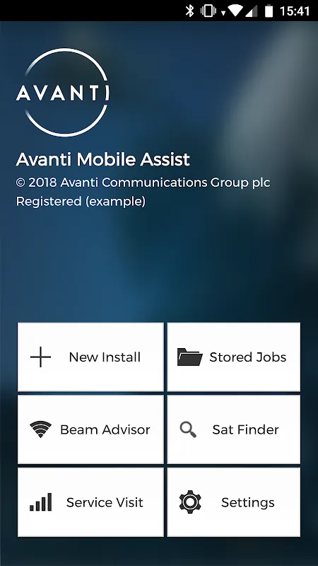
The desert sun hammered down like a physical weight, sweat stinging my eyes as I squinted at the Ka-band reflector wobbling precariously on its mount. My knuckles were raw from tightening bolts that refused to align, and the signal meter’s persistent red glare felt like it was mocking me. "Third failed calibration this week," I muttered, kicking a stray rock that skittered across the cracked earth. That's when Carlos, our perpetually calm senior tech, slid his dusty phone across the hood of my truck. "Try Avanti. It’s like having an engineer in your pocket." I nearly snorted – another gimmick promising miracles while delivering headaches.
But desperation breeds open-mindedness. I tapped the icon hesitantly, expecting another clunky interface. Instead, the screen bloomed into a live camera view overlaid with crisp holographic guides that precisely mapped the satellite’s azimuth. As I raised the phone toward the dish, glowing green crosshairs danced in real-time, adjusting with micro-movements. The app used my phone’s gyroscope and accelerometer to calculate angles down to 0.1 degrees – a revelation compared to wrestling with analog inclinometers. Suddenly, aligning the feedhorn felt less like guesswork and more like docking spacecraft. When the signal meter finally flashed green, I let out a hoarse cheer that startled a nearby jackrabbit. This wasn’t just assistance; it was sorcery disguised as software.
Rain transformed our next job into a nightmare. Water sluiced off my hood as I struggled to hold alignment near a wind-whipped ridge. Avanti’s AR markers flickered wildly in the downpour, and the accelerometer went haywire from my shivering. "Piece of junk!" I yelled, fumbling with rain-slicked gloves until I discovered the hidden calibration mode. By stabilizing the phone against the tripod leg and enabling manual override, the app recalculated using predictive algorithms. It compensated for my trembling hands by analyzing historical vibration patterns – a brutal reminder that even genius tools demand understanding their limits. That moment of friction made me respect it more than any seamless victory ever could.
Midnight oil burns differently when you’re troubleshooting in a blacked-out suburb. Generator humming, I traced cabling faults using Avanti’s signal-path visualizer – a feature translating RF diagnostics into color-coded trails on my screen. When interference spiked, the app isolated the culprit: a neighbor’s malfunctioning microwave emitting rogue frequencies. This real-time spectral analysis felt like X-ray vision, peeling back invisible layers of noise. I’ve developed rituals around it now – the way I position my thumb to avoid shadowing the camera, the exact angle I tilt the phone to catch moonlight for screen visibility. These tiny intimacies transform tools into extensions of your body.
Yet perfection remains elusive. Last Tuesday, the app’s auto-logging feature misfired, erasing three hours of diagnostic data during a critical enterprise install. No warning, no recovery option – just digital amnesia. My scream echoed in that sterile server room, a primal outburst before cold resignation set in. We rebuilt the logs manually, but that betrayal lingered. Tools giveth, and tools taketh away. Still, watching new recruits fumble with compasses while I snap alignment photos with Avanti’s geotagged validation system? That’s the quiet joy of obsolescence in action.
Keywords:Avanti Mobile Assist,news,satellite alignment,field diagnostics,AR calibration


